The state’s transportation needs and priorities are determined through a comprehensive, performance and risk-based planning process.
Long-term goals
This process begins with our 50-year Minnesota GO Vision for Transportation. The vision and guiding principles are intended to inform the investment and service decisions of all agencies responsible for transportation planning, construction and delivery in Minnesota.
We update the 20-year Statewide Multimodal Transportation Plan every five years to articulate policy objectives and strategies necessary to support the vision over the next two decades.
Modal plans
Our family of plans is developed to further guide how we invest in highways, freight, rail, ports and waterways, aviation, transit, bikes, and pedestrians.
System Investment Plans offer mode-specific strategies and guidance, establish performance measures and performance-based needs, conduct risk-based assessments and investment tradeoffs, and identify system priorities.
Capital Highway Investment Plan
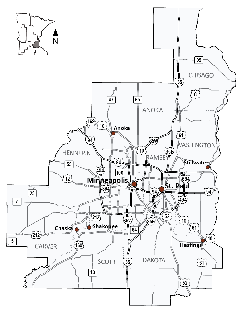
Metro District's 10-Year Capital Highway Investment Plan (CHIP) (PDF) 2025-2034 communicates the next 10-years of planned projects in the district. The planned projects align with the goals and objectives set in the Minnesota 20-Year State Highway Investment Plan (MnSHIP).
Over the next 10 years, Metro District is projected to invest roughly $5.8 billion in state highway projects. Most of these projects will address pavement and bridge condition, as well as mobility improvements. Projects will also address roadside infrastructure (signage, culverts, and lighting), safety improvements, and pedestrian and bicycle infrastructure.
Additional resources
Transportation Advisory Board
We created area transportation partnerships (ATPs) more than three decades ago in response to changes in federal law that increased state flexibility and the need for public involvement in transportation planning and program decision-making. ATPs were established by each district specifically to facilitate broader input to the federal project selection process for the development of the State Transportation Improvement Program (STIP), the four-year program of state and local construction projects with federal highway and transit funding, as well as projects with state funding.
Metro District’s area transportation partnership is different than other regions in that it operates within the district’s metropolitan planning organization (MPO), the Metropolitan Council. The Transportation Advisory Board (TAB) is a key participant in the region's transportation planning process. The TAB was created by the state legislature in 1974 to perform transportation planning and programming for the Twin Cities metropolitan area, as designated by state and federal law. It is a 34-member body, composed of 17 elected city and county officials, five representatives of government agencies involved in transportation issues, eight citizen members, and four members who represent transportation modes, such as transit, freight and non-motorized modes.
The transportation planning process is based on Minnesota statutes and federal rules and regulations on urban transportation planning. As the region's federally-designated MPO, the Metropolitan Council and TAB are responsible for the continuing, cooperative, and comprehensive transportation planning process in the Twin Cities Metropolitan Area. This qualifies the region for federal transportation planning, operating and construction funds which are primarily distributed through the Regional Solicitation.
Chisago County
Another unique feature of the Metro District is that one county, Chisago County, is outside of the Metropolitan Council and TAB’s jurisdiction. The ATP process for Chisago County is held within the East Central Regional Development Commission. Federal funds for planning, construction and transit are distributed with help of a Transportation Advisory Committee made up of local, state, and federal government representatives.
Tribal governments
The Shakopee Mdewakanton Sioux (Dakota) Community is located in the Metro District. Our Tribal Affairs staff consult with tribal governments annually to discuss transportation issues and projects in other areas of the state.
Toward Zero Deaths
Toward Zero Deaths (TZD) is a multi-agency partnership led by the Minnesota Departments of Transportation, Public Safety and Health, in cooperation with the FHWA, Minnesota county engineers, the Center for Transportation Studies and other traffic safety organizations. The Metro Minnesota Toward Zero Deaths program began in 2008 and includes all the counties in the Metro District.
TZD provides an integrated approach to the application of education, engineering, enforcement and emergency medical and trauma services. The goal is to raise awareness around traffic safety issues and develop tools that can be used to reduce the number of deaths and injuries resulting from traffic crashes in Minnesota.