Gallery
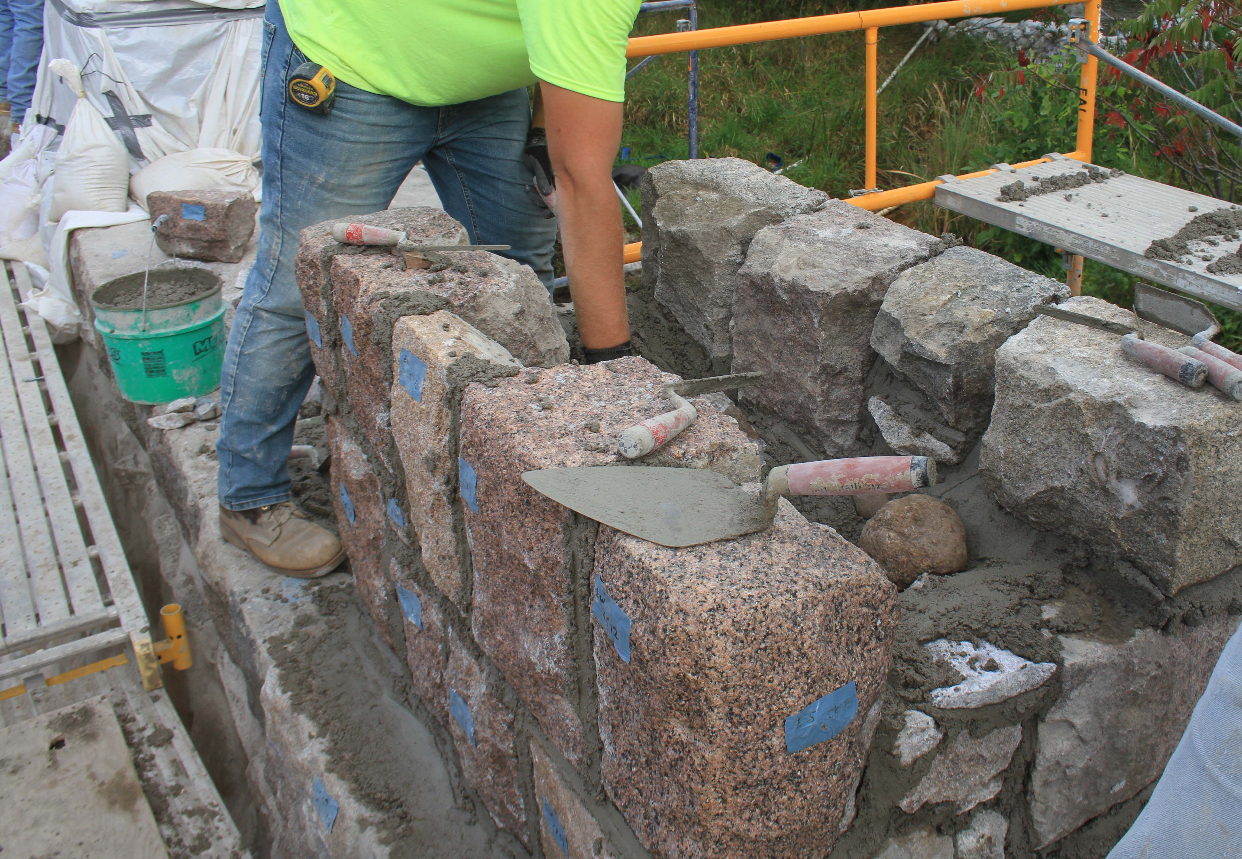
Graceville Marker Rehabilitation
Listed on the National Register of Historic Places
Original Construction: 1940
Designed by: Arthur Nichols, Consulting Landscape Architect
Constructed by: Work Projects Administration (WPA)
on Minnesota Highways
Listed on the National Register of Historic Places
Original Construction: 1940
Designed by: Arthur Nichols, Consulting Landscape Architect
Constructed by: Work Projects Administration (WPA)
Listed on the National Register of Historic Places
Original Construction: 1938
Designed by: Arthur Nichols, Consulting Landscape Architect and National Park Service
Constructed by: Civilian Conservation Corps
Construction update: May 12, 2020. This bridge is completed.
Listed on MnDOT Historic Roadside Development Structures
Kenney Lake Overlook (PDF)
Original Construction: 1939
Designed by: Arthur Nichols, Consulting Landscape Architect and National Park Service
Constructed by: Civilian Conservation Corps
Listed on the National Register of Historic Places under: Gooseberry Falls State Park CCC/Rustic Style Historic Resources, an Historic District, as a contributing feature in 1989

Stairs before restoration.

Concourse before restoration.

Concourse before restoration.

Concourse after restoration.

Trail plaza before restoration.

Trail plaza after restoration.

Bridge monument before restoration and relocation.

Bridge monument after restoration and relocation.
Listed on the National Register of Historic Places.

NW view of parking lot before restoration.

NW view of parking lot after restoration.

S view of parking lot before restoration.

S view of parking lot after restoration.

South fire ring before restoration.

South fire ring after restoration.

North fire ring after restoration.
Listed on the National Register of Historic Places.

Historic photo by Olson from 1940. The marker was nearly complete.

Graceville marker in 2015 before rehabilitation.

Graceville marker in 2015 before rehabilitation.

Graceville marker in 2019 after rehabilitation.

Stairs pre-renovation

Cornerstone pre-renovation

Cornerstone post-renovation

Post-renovation where stairs were removed
Inspiration Point on TH 16 near Lanesboro was rehabilitated in 2015. It is now listed on the National Register of Historic Places.

Historic photo of the overall site.

Inspiration Point Historic Wayside pre-renovation.

Construction near site entry.

Orr Roadside Parking Area vehicle impact rebuild

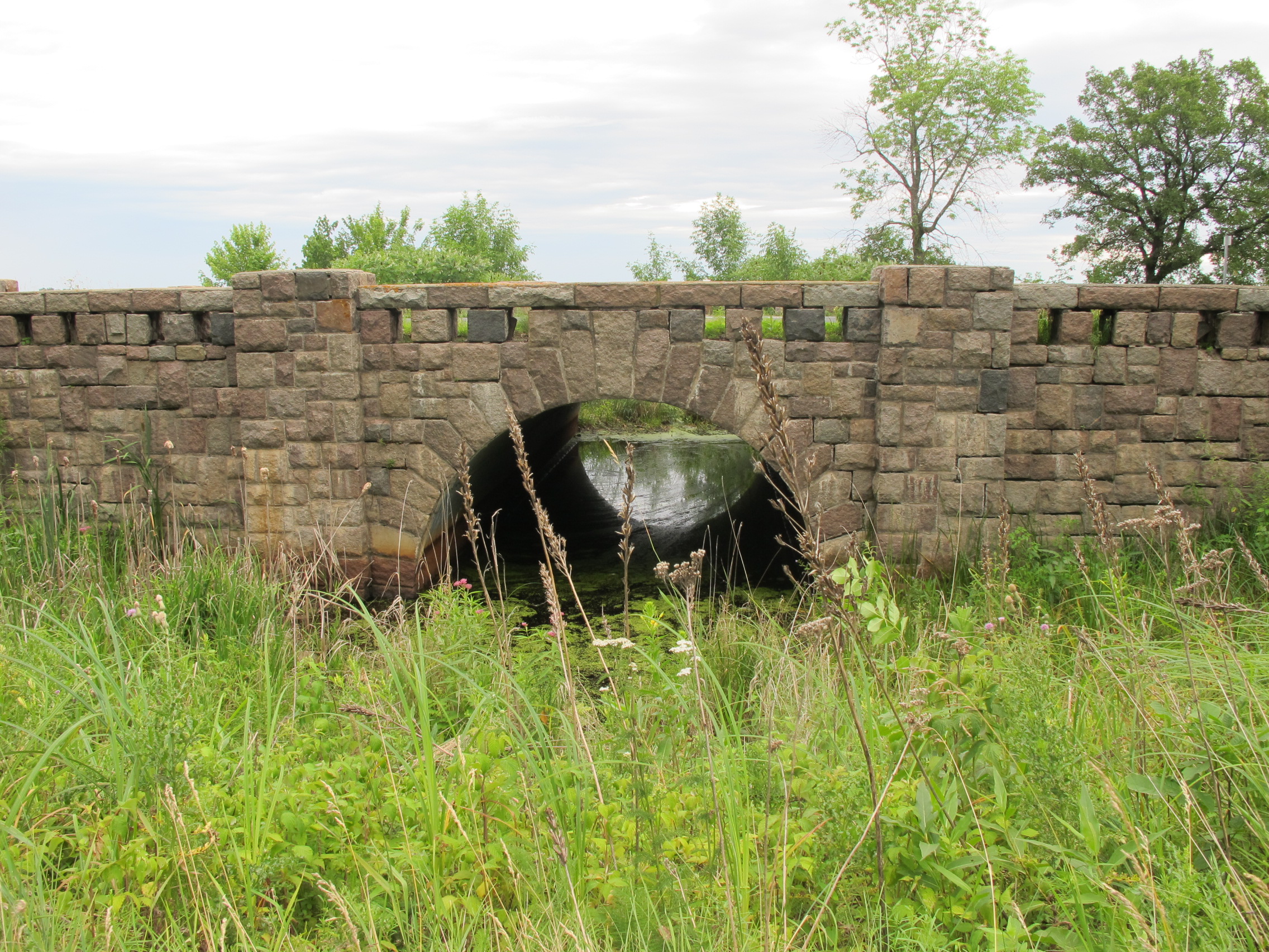
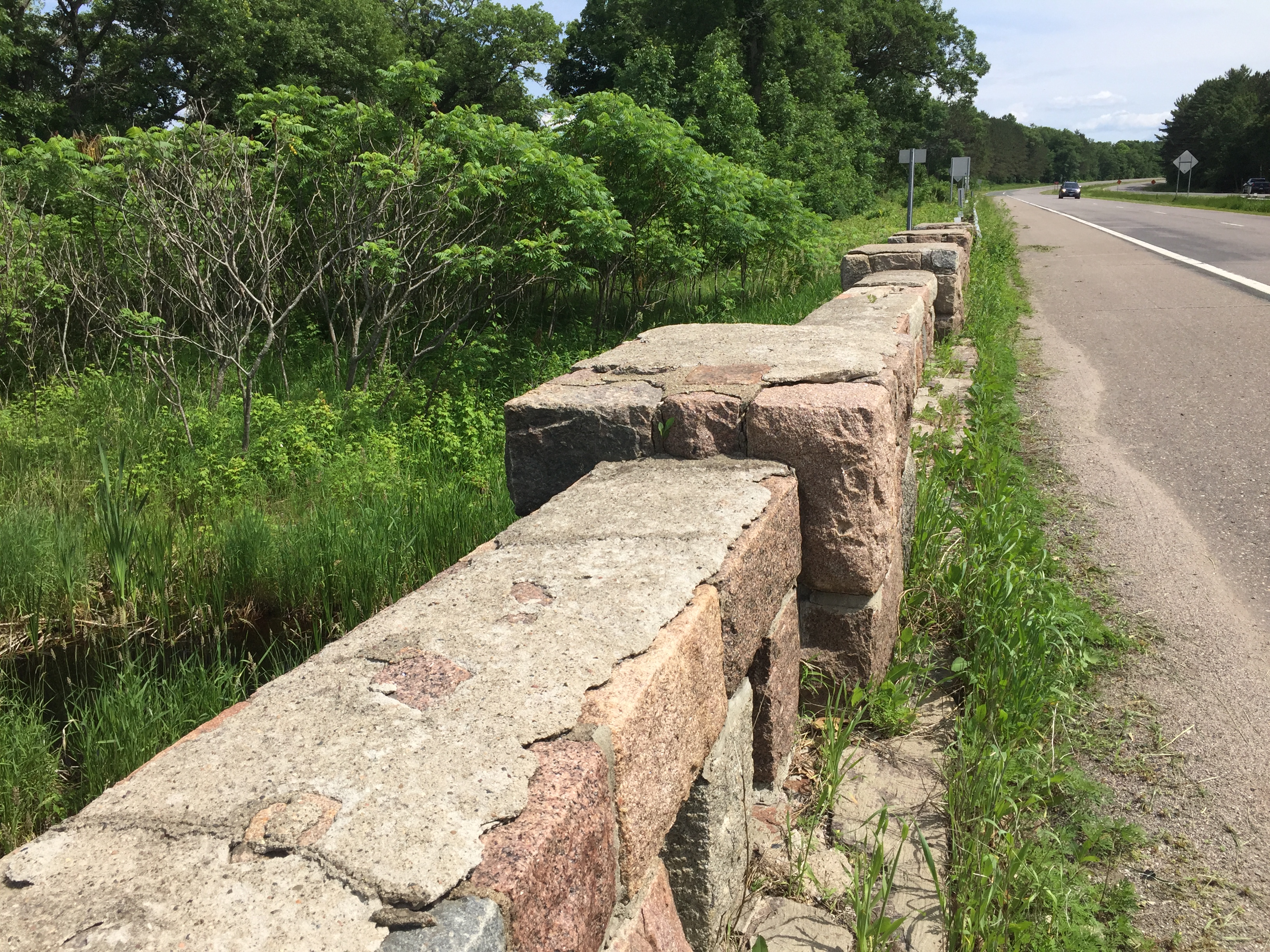
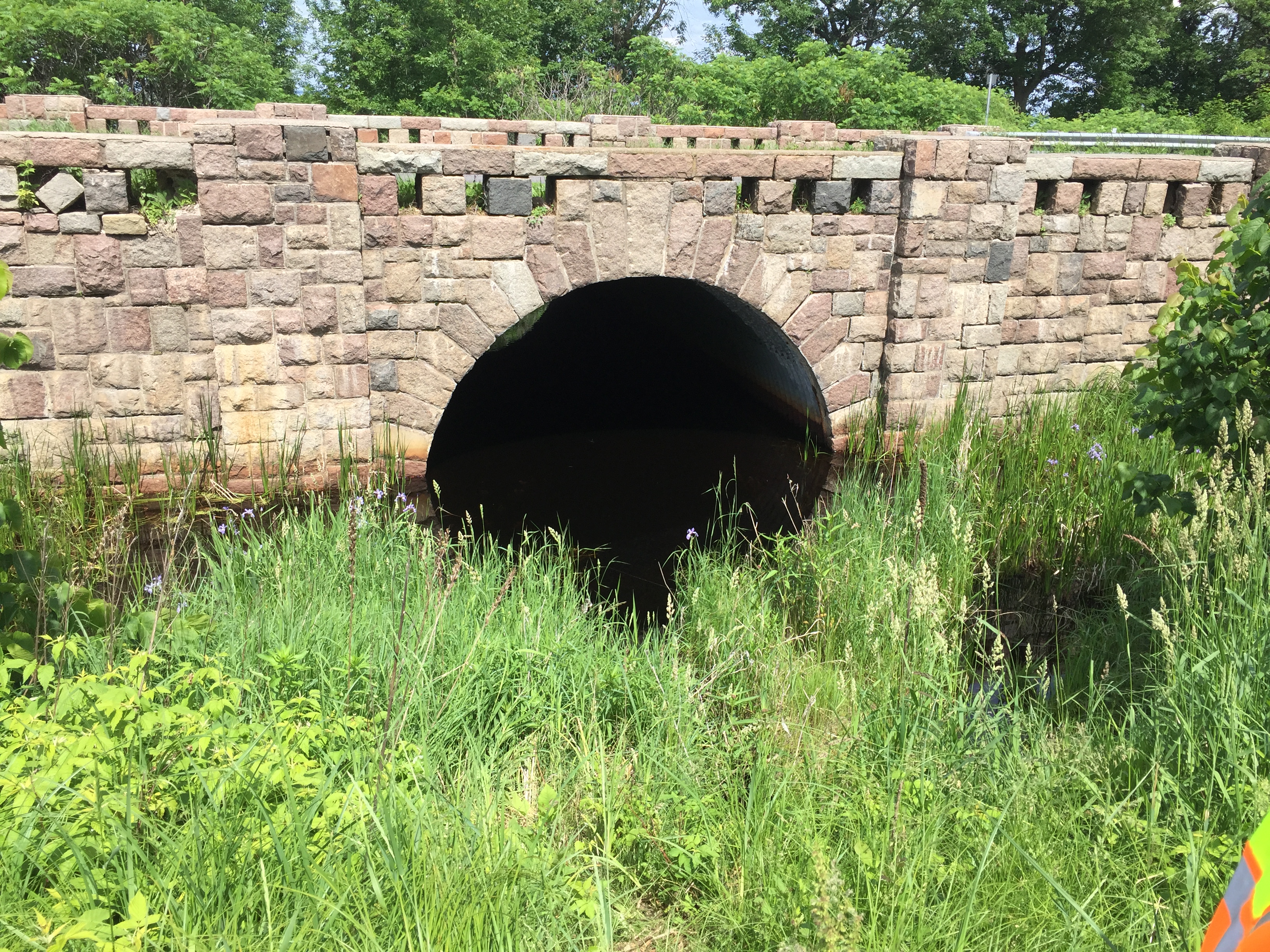
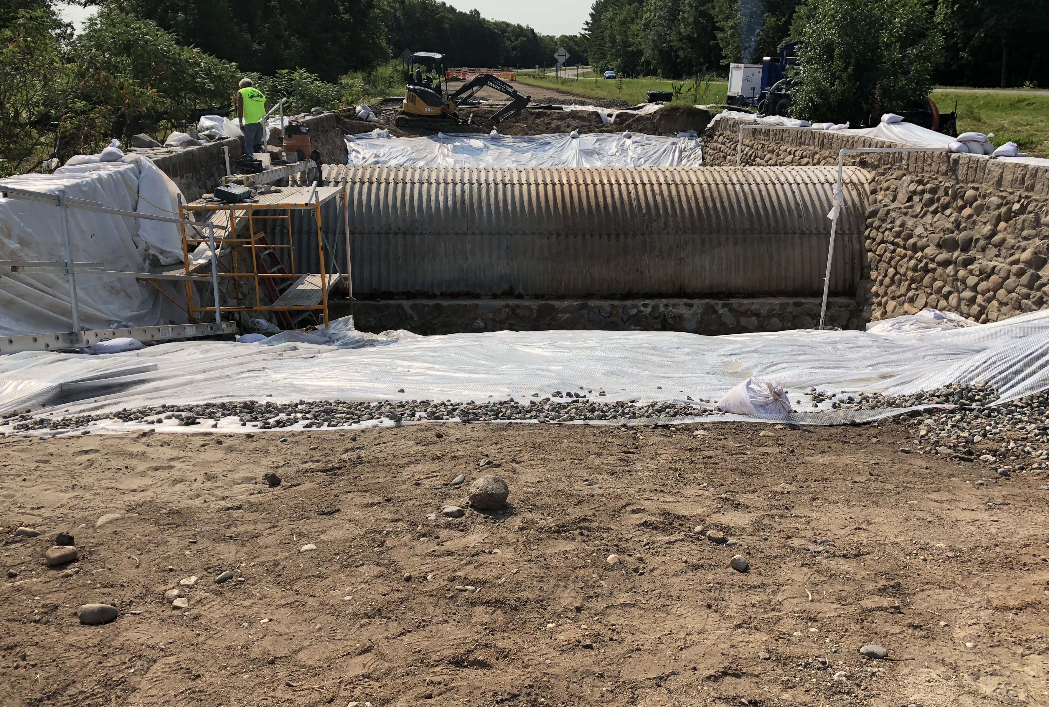
Spruce Creek Culvert Rehabilitation

Willow Lake Roadside Parking Area Restoration

Lake St. Croix Overlook Restoration, also known as Stillwater Overlook South

The Preston Historic Overlook restoration.
The historic Garrison Concourse was built in the 1930s during a severe drought. Eighty years later, this concourse projects into Lake Mille Lacs, where the powers of water and winter have made their marks.

Historic photo from 1930s.

The historic Garrison Concourse was built in the 1930s during a severe drought.

Eighty years later, this concourse projects into Lake Mille Lacs, where the powers of water and winter have made their marks.

More of Nature’s work, circa 2010.

The historic Redwood Falls Retaining Wall in 2006, a year before sustaining its first commercial vehicle-related accident. (Click to enlarge.)

The same wall after restoration in 2011, featuring its stone masonry and steel rail restored to the original color. (Click to enlarge.)

The wall after sustaining a second commercial vehicle accident in March, 2014. An insurance assessment to cover repairs is pending. (Click to enlarge.)

The wall after sustaining a second commercial vehicle accident in March, 2014. (Click to enlarge.)

This undated photo was taken just after original construction with the designer, Arthur Nichols, Consulting Landscape Architect. (Click to enlarge.)

The flagstone walk and wall overlook, looking south. Notice the drive is not yet paved. (Click to enlarge.)

Before restoration. (Click to enlarge.)

Before restoration. (Click to enlarge.)

After restoration. (Click to enlarge.)

Lakeside, after restoration. (Click to enlarge.)

An interpretive sign.(Click to enlarge.)
This Chaska Historic Marker was built in 1942 on what was then trunk Highway 212. In 2009, the historic marker restored and after the TH212 was realigned, the road was turned into a county road 61, Chaska Boulevard. The historic marker is now owned and maintained by Carver County, before its restoration in 2006, and after restoration in 2009.

The Chaska Historic Marker shortly after original construction in 1942. (Click to enlarge.)

The Chaska Historic Marker in 2006, three years before its restoration. (Click to enlarge.)

The Chaska Historic Marker
shortly after restoration in 2009. (Click to enlarge.)
Split Rock Lighthouse Overlook was built in the early 1950’s to provide a place to stop safely and view the Lighthouse and Lake Superior. The overlook was restored in 2009 and later received the FHWA 2010 Biennial Award for Excellence in Highway Design.

Restored signage, 2009. (Click to enlarge.)

Before its restoration, 2007. (Click to enlarge.)

After its restoration, 2009. (Click to enlarge.)